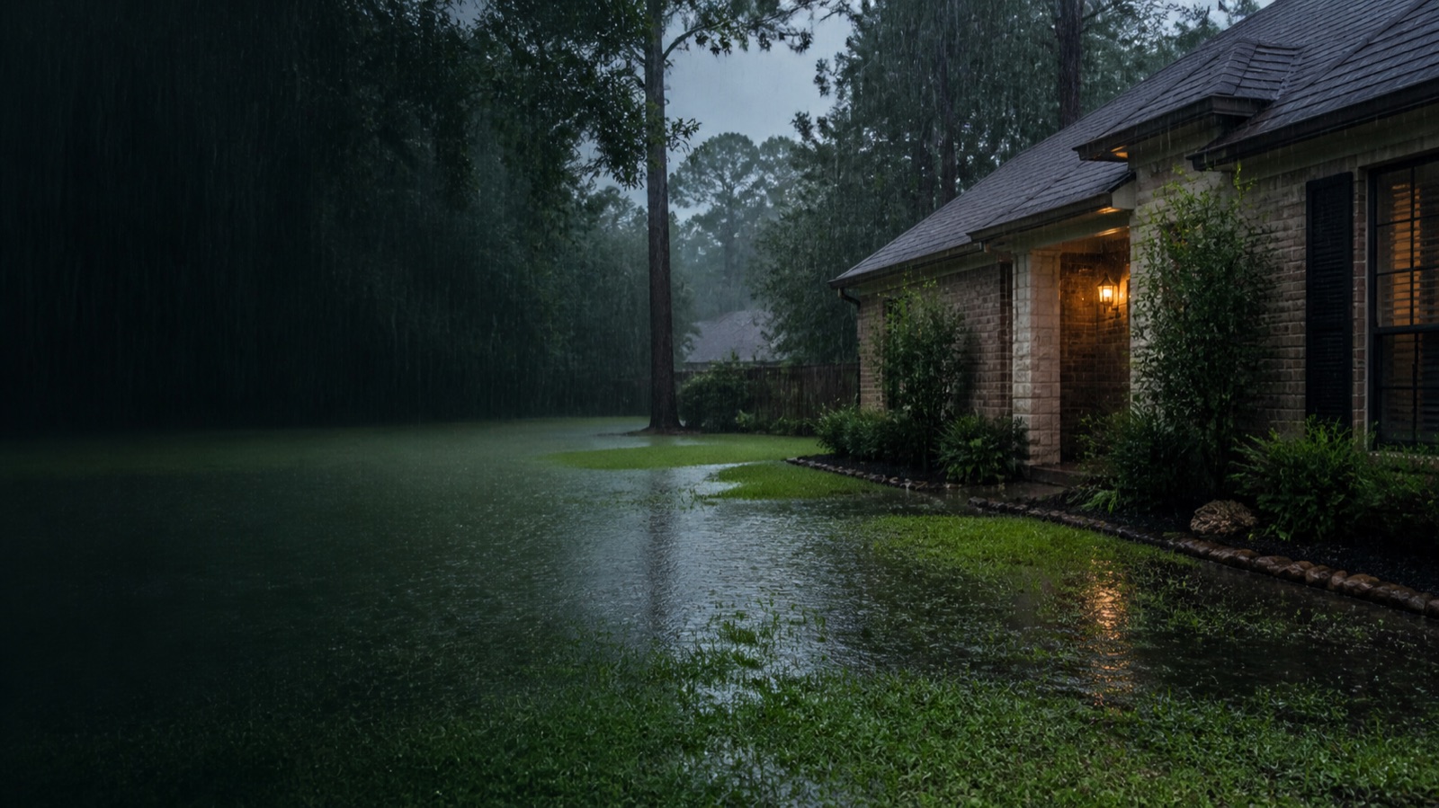
Kingwood drainage questions are easier to think through when three different maps stay separate.
One map shows regional channels and flood-risk-reduction work. A second shows the water path across a particular lot. A third shows the constraints around that path, such as neighboring property, easements, utilities, roots, greenbelts, and access.
All three can matter. They do not answer the same question.
The regional map names real systems
Harris County Flood Control District's Kingwood Area Drainage Analysis evaluated open-channel systems and alternatives in the area, including Taylor Gully and Bens Branch. That gives homeowners a reliable vocabulary for regional context. It is more useful than treating "Kingwood drainage" as one undifferentiated condition.
The study is still a regional channel analysis. It does not diagnose why one back corner stays wet, establish the grade of a side yard, or prescribe a residential drain. Two houses near the same named system can still have different lot-level water paths.
Current Taylor Gully work is regional context
In a May 12, 2026 update, HCFCD reported that Phase 1 construction activity for Taylor Gully channel conveyance improvements and the Woodridge stormwater detention basin was beginning. The published schedule listed a Q2 2026 construction start and Q4 2027 anticipated completion.
That is relevant, current context for the Kingwood area. It is not a promise that a particular yard will drain differently, and project schedules can change. A regional conveyance or detention project and a residential collection problem operate at different scales. The project update should inform the regional map, not stand in for an inspection of the lot.
Draw the lot map during rain
For the property itself, begin upstream. Mark each roof discharge, hard-surface edge, fence opening, and place where water enters from beyond the immediate work area. Follow the visible route to the first place water slows or spreads.
Then look at the endpoint at the same time. A side yard may have a clear local low point but no workable gravity outlet. An existing line may appear open on a dry day and become submerged during the rain that creates the problem. A proposed inlet can collect water only if the next part of the path can carry it somewhere appropriate.
A short rain record helps. Photograph the same wide views near the start of rain, around the peak, when rain stops, and during recovery. Note which area filled first and how long it took to clear. This evidence is more useful for a lot-level decision than a general account of neighborhood flooding.
Add the constraint map before choosing a route
Kingwood lots can place a proposed route near mature roots, fences, greenbelts, utility corridors, paving, drainage easements, or neighboring property. Those conditions should be checked at the address rather than inferred from a neighborhood name.
The outlet deserves particular care. City guidance generally protects adjacent private property from redirected sheet flow, but that statement does not resolve every Kingwood address. The proposed route may also involve easements, HOA requirements, public right of way, or other approvals. A contractor should identify those questions before presenting the line as buildable.
Ask the inspection to connect the maps
A useful inspection should explain how the lot-level recommendation fits the observed water path and the available outlet. Ask for a plain answer to each of these questions:
- What source is the proposed work meant to control?
- Which part of the path is failing: source, surface grade, collection, conveyance, or outlet?
- What elevations or observations support the route?
- What property constraints were checked and which remain unknown?
- What would still happen during a storm when the endpoint is full?
- What will the proposed work not solve?
The regional map may explain why a named channel or project appears in the conversation. It should never be used as proof that a residential product fits.
Use local detail carefully
Good local guidance is specific about what is known and equally specific about what remains unproven. Taylor Gully and Bens Branch are documented regional systems. The Taylor Gully and Woodridge schedule is a current public project record. Neither establishes a parcel's soil, grade, flood history, outlet, or future performance.
High & Dry is a referral marketing service. We can connect Kingwood homeowners with a local drainage contractor for an on-site inspection. We do not perform construction, diagnose a property from its ZIP code, or promise a design before the lot and outlet have been checked.
Sources used for this guide: HCFCD, Kingwood Area Drainage Analysis Summary; HCFCD, May 12, 2026 Taylor Gully and Woodridge update; and City of Houston, Stormwater Design Requirements. The HCFCD records are regional context and do not establish lot-level conditions or results.
Yard Drainage Solutions is the service page when the water is still on the surface. Humble is the nearest area page with the same lot-versus-region write-up. Before pricing a trench on a Kingwood lot, compare the published ranges in French Drain Cost in Houston: 2026 Prices Per Foot.